Operational Science / Passenger ExperienceFeatured
What People Actually Expect from Public Transport (And Why It's Still Not Being Met)
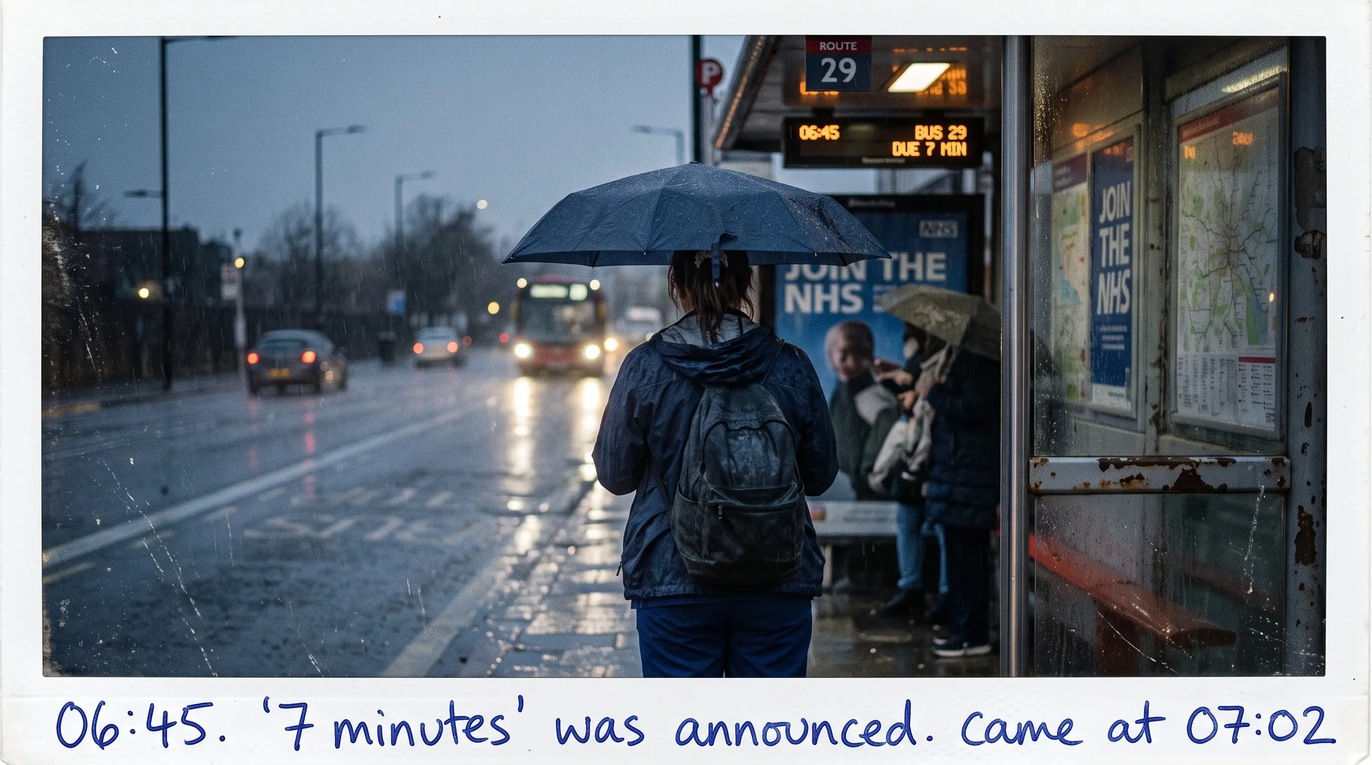
IPPR research applied to Turkey: passengers expect reliability, affordability, and safety. How OW GTFSHub™, CostLogic™, and FreqOpt™ help municipalities meet those expectations.
9 min read
Read More