11 min read
Transit Equity in Megacities: The Era of "Accessibility-Based" Planning with AI

Written by Dr. Ümit Kuvvetli
Founder & Chief Optimization Scientist
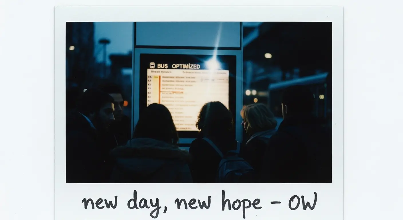
Are Bus Routes Only Designed for City Centers?
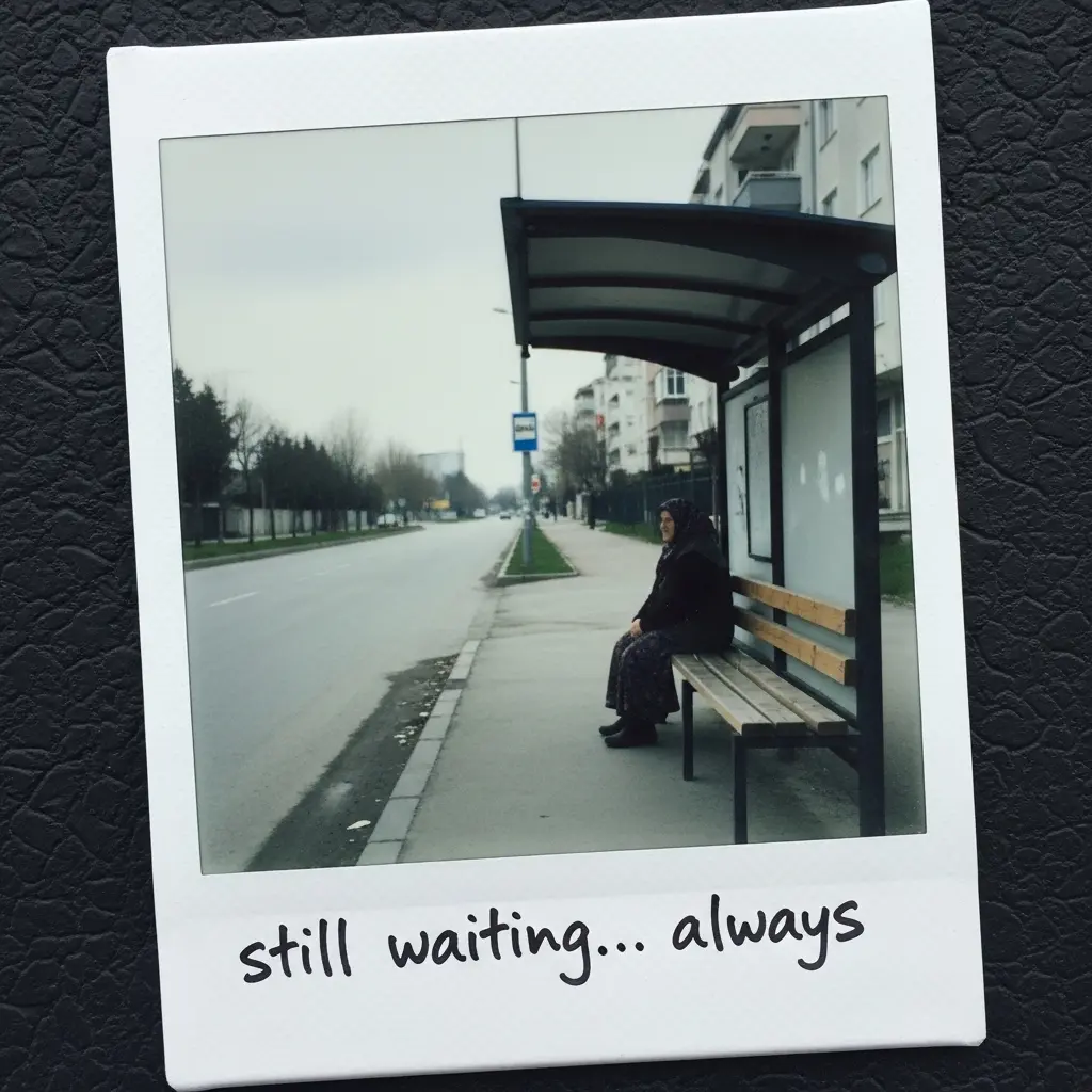
Why is there a bus every 15 minutes from Sarıyer to Taksim in Istanbul, while residents in the peripheral neighborhoods of Beykoz or Esenyurt wait for over an hour? Why is the walking distance between stops measured in minutes in İzmir’s Alsancak, while a 1-kilometer trek to the nearest stop is a daily reality in parts of Çiğli or Narlıdere?
Traditional transit planning creates what we call the "Efficiency Paradox": investment pours into high-density corridors, and as demand grows, these areas are further rewarded. But what about the low-density, underserved neighborhoods?
At OW Suite, we are breaking this cycle using Reinforcement Learning (RL) and Decision Science.
🔍 The Weak Link in Traditional Planning: The "Total Time" Trap
The fundamental goal of classic bus network design is simple: Minimize total travel time. While mathematically logical, this approach breeds social injustice.
Scenario A: Reducing travel time by 5 minutes for 1,000 commuters (5,000 mins saved).
Scenario B: Reducing travel time by 15 minutes for 100 commuters in the periphery (1,500 mins saved).
Classic algorithms will almost always choose Scenario A. Consequently, transit usage reaches 50% in central districts while dropping below 15% in peripheral areas. This isn’t just a transportation issue—it’s a risk of social exclusion.
🚀 The OW Suite Approach: Accessibility-Based Planning
In the next generation of transit planning, the core question isn’t "How fast is it?" but "How easily can people reach opportunities?"
What is Accessibility?
It is the number of critical "opportunities" (destinations) a citizen can reach within a 40-minute journey:
- Employment: Factories, offices, business hubs.
- Healthcare: Hospitals and clinics.
- Education: Schools and university campuses.
OW Suite measures the "accessibility gap" between a resident in a central hub and one in a remote neighborhood, optimizing routes to bridge this divide.
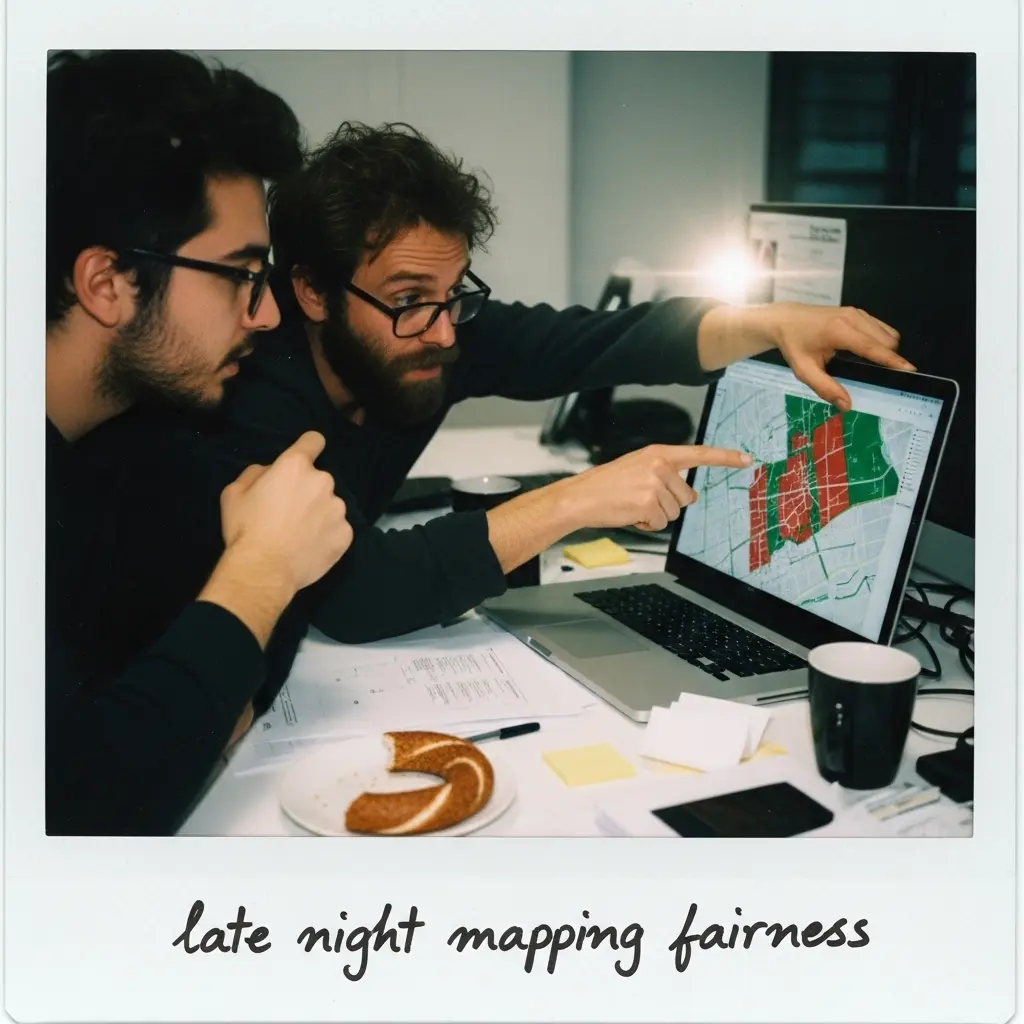
🧠 AI Takes the Wheel: Reinforcement Learning (RL)
Finding the most equitable route among billions of possible combinations is impossible with traditional methods. OW Suite utilizes Reinforcement Learning—much like a human learns to ride a bike through experience:
- Trial: Simulating millions of routing scenarios.
- Evaluation: Scoring each scenario for accessibility and social equity.
- Learning: Doubling down on successful strategies and discarding failures.
- Optimization: Reaching the "Global Optimum" without bloating city budgets.
⚖️ The Social Need Index: Capturing True Fairness
We don’t just factor in efficiency; we integrate social need into the equation. OW Suite weights planning based on:
- Income Level & Car Ownership: Prioritizing neighborhoods where residents rely solely on transit.
- Demographics: Areas with high concentrations of elderly residents or students.
- Employment Status: Hubs where transit is a lifeline for job seekers.
Example: High-population zones with low car ownership, like Istanbul’s Esenyurt or Ankara’s Keçiören, are prioritized within our system.
📈 Tangible Results and Expected Gains
Based on models tested in Sydney (Penrith) and adapted for major Turkish metropolises:
- 5–8% Increase in Accessibility: Seamless integration of underserved neighborhoods.
- Balanced Distribution: A network that flows into the city's capillaries, not just its heart.
- Time Savings: Approximately 60 hours of reclaimed free time per year for an average Istanbul commuter.
- Agency Efficiency: 10–15% wider coverage using the same fleet capacity.
🏁 Conclusion: Equitable, Smart, and Sustainable Cities
Public transit is more than just a service—it is the democracy of a city. At OW Suite, our mission is to put AI at the service of social justice. By merging mathematical precision with human needs, we make megacities more livable for everyone.
For transit agencies and city managers: Contact us for an OW Suite demo to map your city’s accessibility and launch a data-driven era of transit equity.
Related Posts
Continue with adjacent topics—from mixed-integer programming (MIP) and combinatorial optimization to multi-objective scenario modeling in public transit.
What People Actually Expect from Public Transport (And Why It's Still Not Being Met)
IPPR research applied to Turkey: passengers expect reliability, affordability, and safety. How OW GTFSHub™, CostLogic™, and FreqOpt™ help municipalities meet those expectations.
How to Build a Public Transport Network in Strategy Games? Real-World Optimization
Stop traffic meltdown in Cities: Skylines–style games: headways, hub-and-spoke, dead mileage, and GTFS-grade thinking—bridging games and real transit optimization.