11 min read
Is Equal Service Everywhere Really the Best Public Transport Strategy?

Written by Dr. Ümit Kuvvetli
Founder & Chief Optimization Scientist
A new scientific study challenges one of the most widely accepted assumptions in public transport planning.
One of the most common requests received by public transport agencies is: "Why doesn't our neighborhood have more bus service?"
For transport planners and decision-makers, however, the question is different: "How can we maximize public benefit with limited resources?"
For decades, public transport planning has largely been guided by the idea of distributing service as evenly and symmetrically as possible. Similar corridors receive similar service levels, networks are designed to appear balanced, and expanding geographical coverage is often viewed as the primary objective.
But a groundbreaking study published in Nature Communications in 2024 suggests that this assumption is not always correct. According to the research, the optimal transport network is not necessarily symmetrical. In some cases, concentrating resources on specific parts of a city can produce significantly better outcomes than attempting to provide uniform service everywhere.
At first glance, this may seem counterintuitive. Yet it provides a compelling explanation for many of the challenges modern cities face.
The optimal transport network is not necessarily symmetrical.
More Routes Do Not Always Mean Better Mobility
Success in public transportation is often measured by more buses, more routes, and more network coverage. However, passengers do not experience a transport system through network size alone.
Their total travel time consists of multiple components: walking to a stop or station, waiting time, transfers, in-vehicle travel time, and traffic congestion.
The mathematical framework developed in the study captures precisely this reality. Instead of evaluating only travel speeds, it models both the slow transport layer (such as road traffic) and the fast transport layer (such as metro systems), while explicitly incorporating the cost of transfers into the optimization process.
A metro line may operate at high speed, but if passengers spend excessive time walking, waiting, or transferring, its overall benefit decreases considerably.

Small Changes Can Trigger Major Network Transformations
Perhaps the most fascinating finding of the research is that transport networks do not behave linearly.
Minor changes in transfer times, network length, or the relative speed of different transport modes can completely alter the optimal network structure. The researchers describe this phenomenon as "Symmetry Breaking."
For example, under certain conditions, a network that expands evenly in multiple directions is optimal. But once critical thresholds are crossed, the mathematically optimal solution suddenly shifts toward a highly asymmetric structure, concentrating investment on only one side or one corridor of the city. This transition is not gradual—it resembles a phase transition commonly observed in physics.
The implication is profound:
The network that is optimal today may no longer be optimal tomorrow.
Equal Service Everywhere May Not Produce the Best Outcomes
At first, this conclusion may appear to conflict with the principle of equitable service. However, the objective of optimization is not to neglect certain neighborhoods—it is to minimize the overall travel time experienced across the entire city.
The study demonstrates that, under specific conditions, providing modest service everywhere versus delivering stronger service along carefully selected corridors can yield very different results: the second approach may generate significantly greater system-wide benefits. This outcome is driven by the nonlinear relationship between transfer costs, travel times, and network structure.
This shifts the planning question from "How much area do we cover?" to a much more meaningful one:
Where should limited resources be invested to maximize the performance of the entire network?
The Theory Was Tested on Real Cities
The study is not merely theoretical. The optimization framework was applied to the metro systems of Toronto, Boston, and Atlanta.
The results were revealing. Although existing metro networks already perform relatively close to their mathematically optimal configurations, the study found that as road congestion increases, real-world networks become increasingly inefficient compared to the optimized designs.
In other words, a network that performed well years ago may gradually lose its efficiency as cities evolve. Urban populations grow. Travel demand shifts. Congestion patterns change. Mobility behavior evolves. Transport networks must evolve as well.
A New Planning Paradigm: Dynamic Rather Than Static Optimization
Traditionally, transport planning relied heavily on periodic surveys and manual passenger counts. Today, transit agencies have access to unprecedented volumes of operational data, including smart card transactions, Automatic Vehicle Location (AVL) systems, GTFS datasets, traffic information, passenger demand patterns, GPS trajectories, and demographic data.
When these datasets are analyzed together, agencies can move beyond simply understanding today's network—they can simulate tomorrow's. This represents a fundamental shift. Public transport planning is no longer a one-time exercise. It is becoming a continuous optimization process that adapts as cities change.
From Scientific Theory to Operational Decision-Making: The OW Approach
The Nature Communications study demonstrates that optimal transport networks are dynamic. As demand, congestion, travel speeds, and transfer costs evolve, the optimal network topology evolves with them.
This philosophy closely aligns with the approach adopted by Optimize the World (OW).
OW extends these scientific principles into real-world transit operations by integrating AVL data, smart card transactions, GTFS, traffic conditions, operational constraints, fleet characteristics, and historical travel demand into a unified optimization platform.
Rather than relying on intuition alone, agencies can evaluate scenarios such as: Should a new route be introduced? Which corridors deserve higher service frequency? How would electric bus deployment affect network performance? What happens if travel demand shifts after a major urban development? How will congestion alter today's optimal timetable?
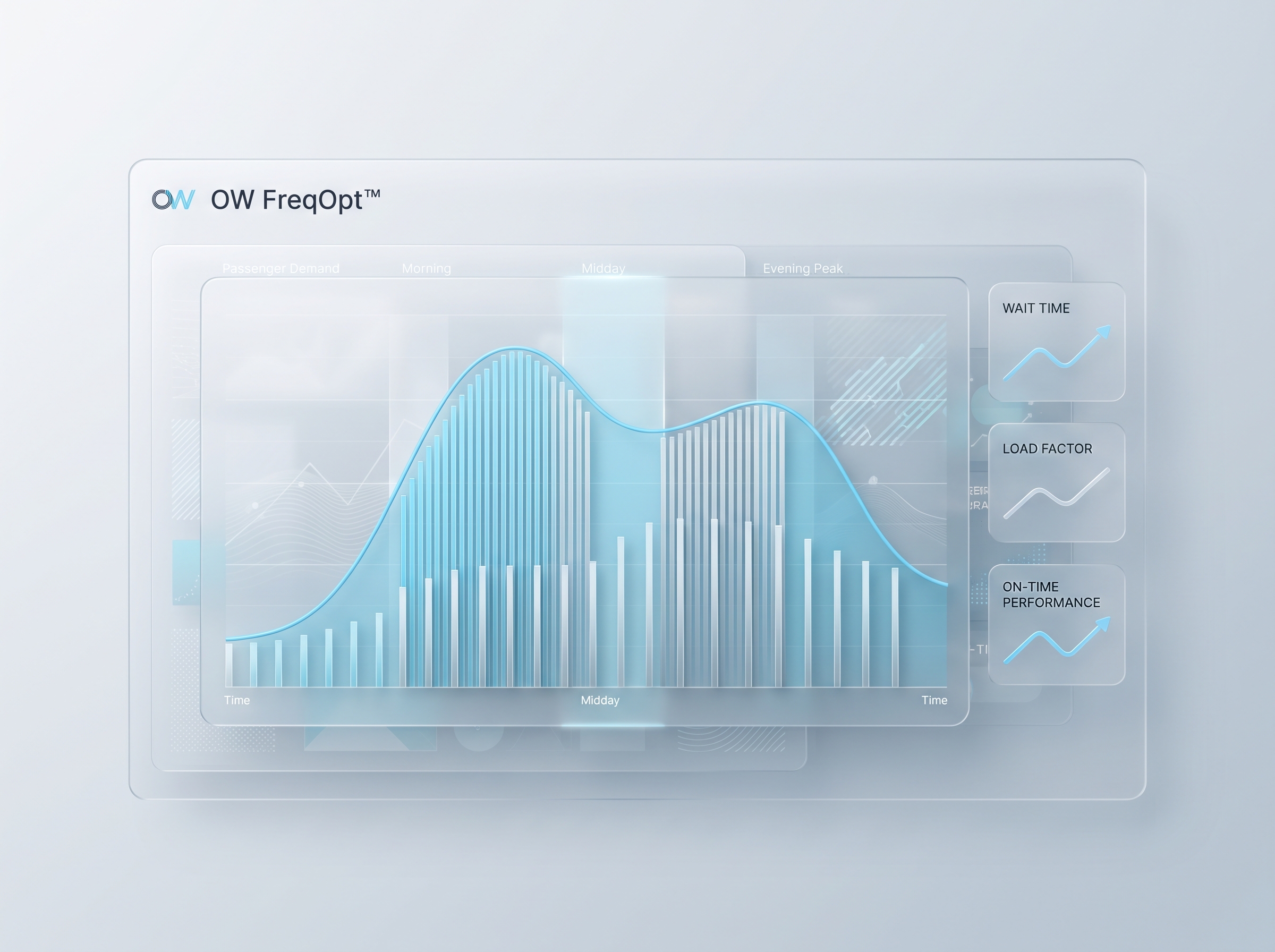
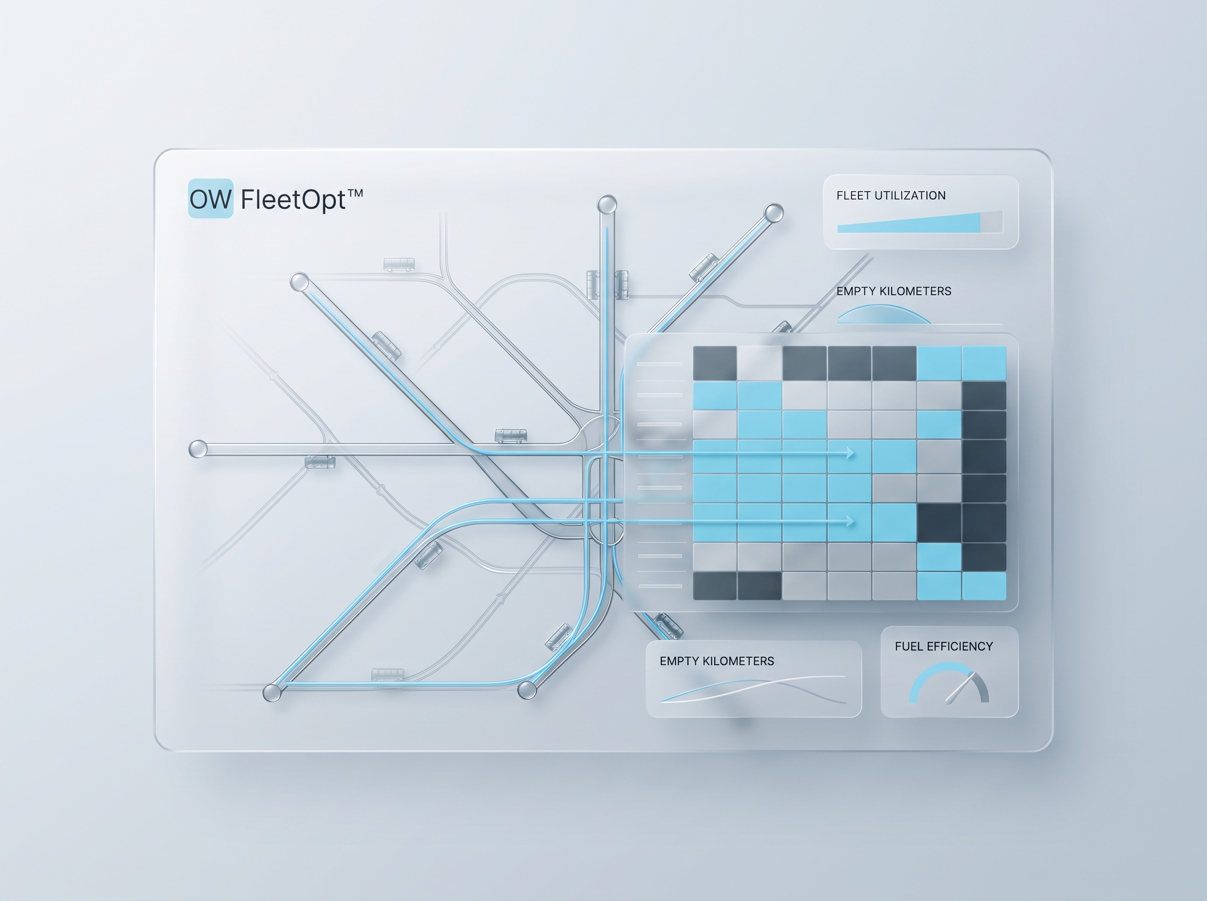
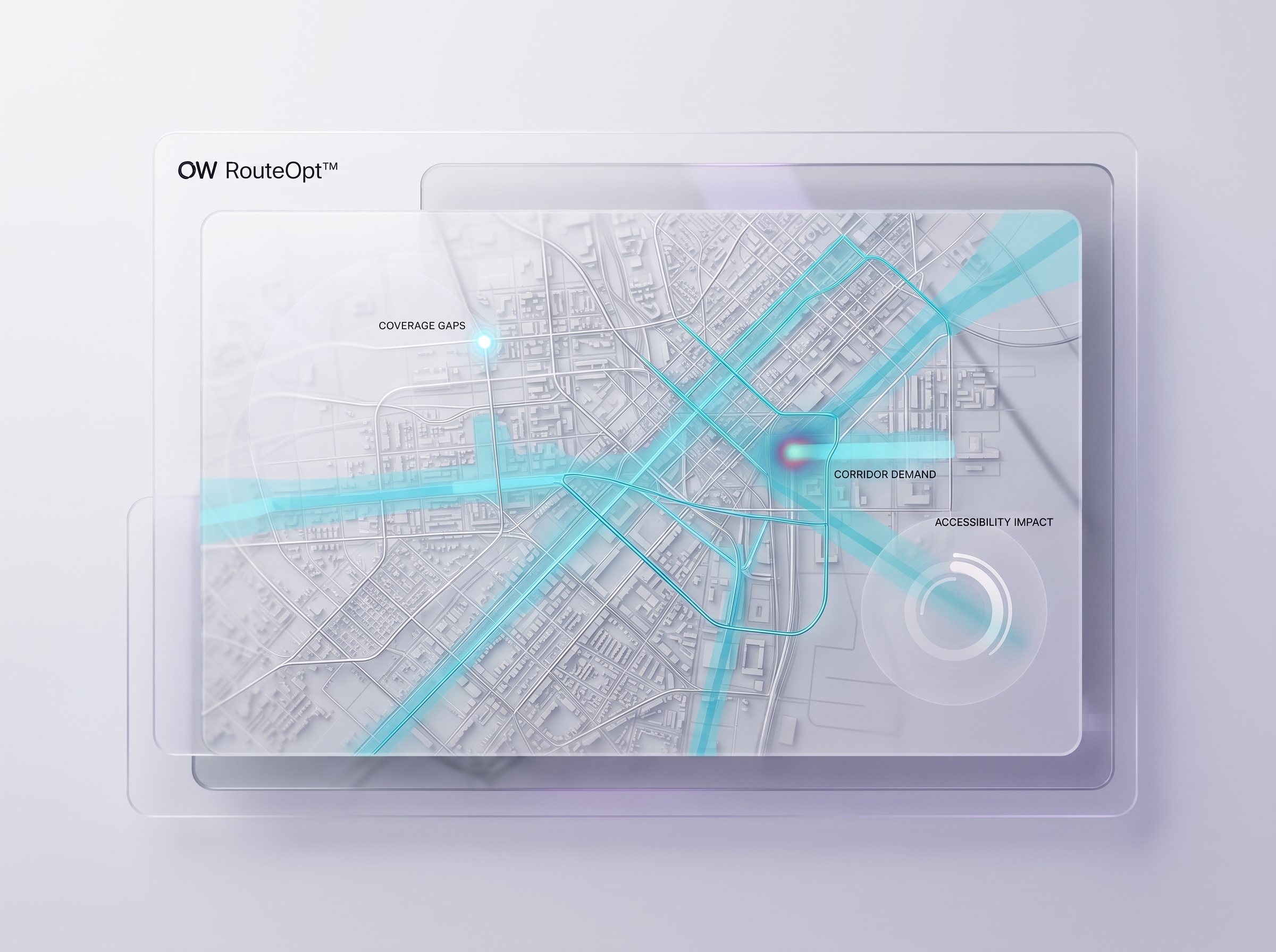
By simulating these scenarios before implementation, decision-makers can identify the strategies that maximize operational efficiency, passenger satisfaction, and resource utilization—connecting theory to modules such as OW FreqOpt™, OW FleetOpt™, and OW OD Matrix™.
Conclusion
One of the biggest misconceptions in public transport planning is the belief that more service automatically means better service.
Modern network science tells a different story.
The best transport network is not necessarily the largest one.
It is the network that delivers the greatest overall benefit with the available resources.
As cities become increasingly data-rich and operationally complex, the future of public transport planning will depend less on intuition and more on scientific optimization, predictive analytics, and continuous decision support.
Perhaps the most important question for transit agencies is no longer "How can we provide more service?"
Instead, it is:
Are we delivering the best possible service with the resources we already have?
Related Modules
Used in this piece

Related Posts
Continue with adjacent topics—from mixed-integer programming (MIP) and combinatorial optimization to multi-objective scenario modeling in public transit.
Buying Electric Buses Is Easy. Operating Them Optimally Is the Hard Part.
Electrification does not end at procurement. Vehicle assignment, charging schedules and energy constraints must be optimized together — or costs rise quietly every day.

Are Ants Better Than Urban Planners?
What collective intelligence can teach us about public transport — and why exploring the solution space matters more than picking a single algorithm.